
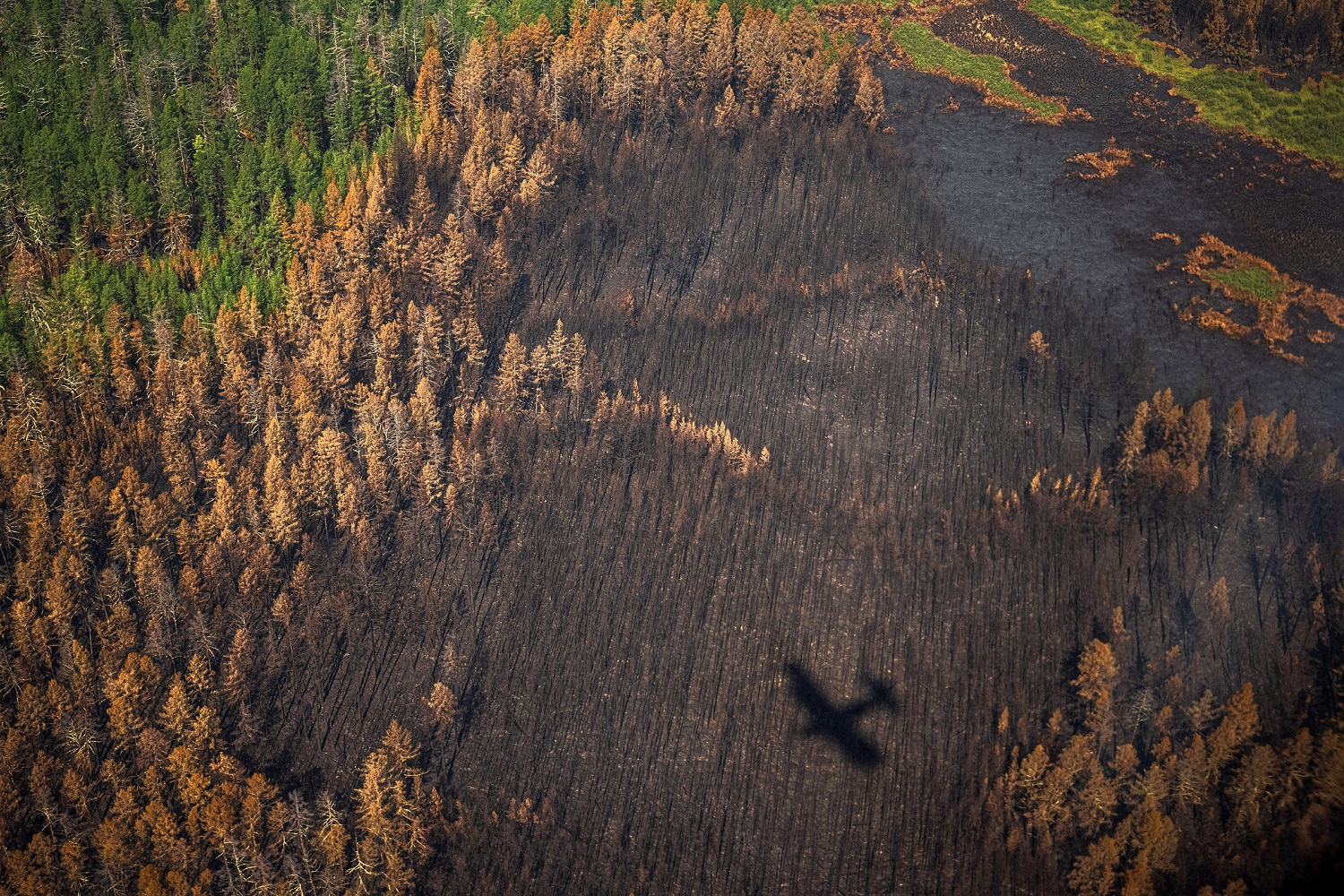
On Earth, something is always burning, says NASA (National Aeronautics and Space Administration). In particular, wildfires are started by lightning or accidentally by people, and people use controlled fires to manage farmland and pasture and clear natural vegetation for farmland.


Furthermore, it is critical to understand that there are global patterns that appear in the fire maps over time as the result of natural cycles of rainfall, dryness, and lightning.
For instance, across Africa, a band of widespread agricultural burning sweeps north to south over the continent as the dry season progresses each year.
According to NASA’s Fire Information for Resource Management System map, and the NASA’s Earth Observatory publication of historic fire data across the world, we can see that fires are the new normal, and we have to find ways to fight them on a year-to-year basis.


0 comments:
Post a Comment